Lobb’s Cemetery: A Window into Jefferson Hills’ Earliest History
Hidden beside a popular community park, this historic burial ground preserves the stories of Revolutionary War soldiers, Whiskey Rebellion participants, and generations of residents.
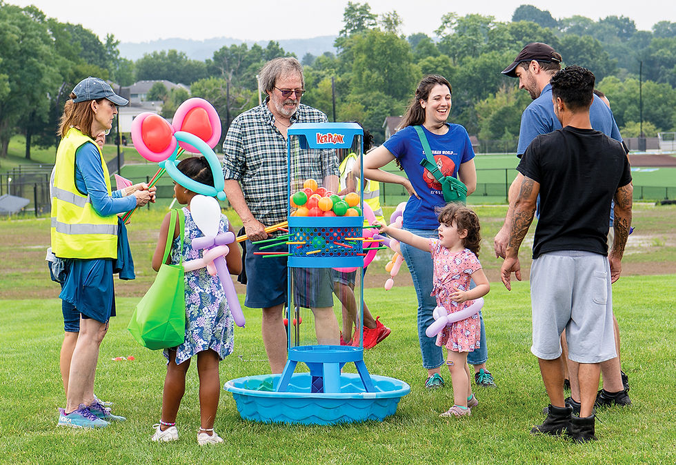
Many residents and visitors enjoy Lobb’s Park, which offers playground equipment, three pickleball courts and a basketball court. It’s the scene of a lot of fun and activity during the warmer months. But did you know it’s also part of a registered historic place?
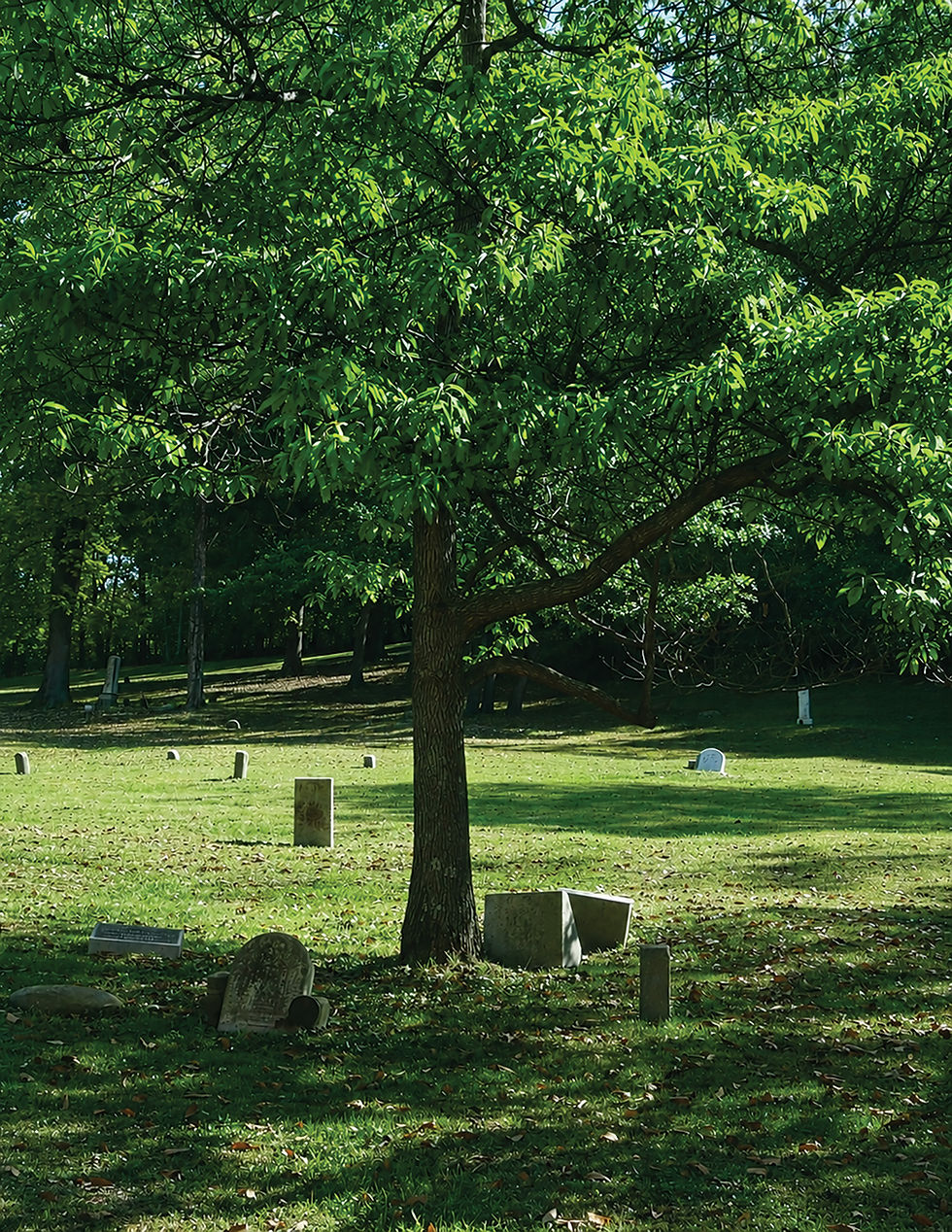
Lobb’s Cemetery (also known as Lobb’s Run Cemetery) has roots tracing back to shortly after our country was established. If the name Lobb’s is unfamiliar, it pays homage to a small tributary of the Monongahela River near the entrance of the cemetery.
The cemetery dates to 1794 and became a part of the National Register of Historic Places in 1992. Some individuals who took part in the Whiskey Rebellion are buried there.
In addition to the men who were central to that famous event, there are also graves of veterans of the Revolutionary War, Spanish-American War, World Wars I and II, and the Vietnam War. In all, there are about 900 people buried in the cemetery. A directory can be found at sites.google.com/view/wjhhs15025/collections/lobbs-cemetery-directory. (Please note that there is still an ongoing process of adding names, so the directory is not complete.)
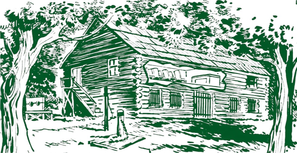
Besides being a very old burial ground, the site was close to the Yohogania County Courthouse. If you’ve never heard of Yohogania County, it’s probably because it was formed in 1776 when this area was part of Virginia, which lasted until around 1780. The log cabin structure is long gone but there is a drawing of it included here, which was AI generated after the careful research of Brady Crytzer. The cutout portion shows the upstairs courtroom.
There is a historical marker located on 5th Street (PA Route 837), .3 miles east of Glass House Road in Jefferson Hills, which marks the spot where the courthouse once stood.
The next time you visit Lobb’s Park for pickleball and other fun activities, take a moment to pause and reflect on what the landscape must have looked like in the 18th century, and those who still reside in the nearby cemetery.
The park is located at 1204 Walton Road, Jefferson Hills. For more information on the park facilities and rentals, visit jeffersonhillsboro.org/Facilities/Facility/Details/Lobbs-Park-Cemetery-3.


Comments